Council Surveying in Dubbo
Western Survey offers expert surveying services for local councils in Dubbo and surrounding regions. We specialise in land measurement, mapping for infrastructure projects, urban planning, and ensuring compliance with zoning regulations. Our accurate data and timely reporting support informed decision-making, optimising land use and maintaining community standards. Call 0483 332 505 to discuss how we can assist.
Tell us about your next project
Surveying Services for Local Councils
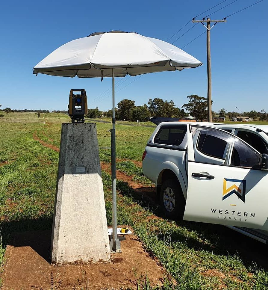
At Western Survey, we provide comprehensive and reliable surveying services for local councils in Dubbo, Orange, Mudgee, Coonabarabran, Parkes, Cobar, Wellington, Forbes, Bourke, Coonamble, Bathurst, Lightning Ridge, Cowra, and Condobolin. Our team plays a vital role in helping councils manage land use and public works efficiently, ensuring that projects comply with all relevant zoning laws and regulations.
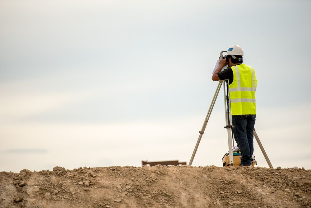
We specialise in measuring and mapping land for various infrastructure projects, including urban planning, road development, and public utilities. Our surveys deliver essential data that councils can rely on to optimise land use, maintain community standards, and facilitate future planning decisions.
Whether you need topographical surveys for urban planning or boundary surveys for new developments, we offer precise and timely solutions. Our deep knowledge of local government regulations and commitment to maintaining strong community relationships ensures that we deliver results that help councils stay on track with their projects and serve their communities better.
Call us today on 0483 332 505 to discuss how our council surveying services can assist your project needs.
Expertise in Council Surveying & Urban Planning
Western Survey offers specialised surveying services tailored to the unique needs of local councils. Our team is highly experienced in working with councils to ensure infrastructure projects comply with zoning laws and planning regulations.
We assist with a wide range of surveying services, from measuring land for infrastructure development to providing critical data for urban planning. Our expert knowledge helps councils optimise land use and manage public works effectively, while our timely reporting ensures that projects stay on schedule and within budget.
Our precise surveys provide councils with the accurate, up-to-date information needed for informed decision-making. We also understand the importance of community relationships, and we work closely with local authorities to maintain transparency and deliver results that meet both regulatory standards and community expectations.
Whether for new developments or existing infrastructure, Western Survey is the trusted partner for councils throughout Western NSW.
Frequently Asked Questions
As a commercial developer, what can a land survey tell me?
If you’re subdividing or planning to develop the land, you are essentially changing the land use and will need a planning permit. Having the land surveyed determines what is permitted to be built on the land according to zoning, environmental conditions and town planning codes.
Do you offer other services aside from surveying?
No, our focus is solely on our specialty – surveying. We are happy to arrange and work alongside other professionals and contractors providing slightly different services for the same project though.
What happens with the information from the surveyor?
The surveyor will draw up and lodge the plan, if required, with the appropriate government department. Once the boundaries are registered by the surveyor, all information for that land is then recorded with the land authority of that state.
What makes Western Survey unique?
Our services are specifically for planning, environmental, cadastral, development and construction projects for private, government, commercial and industrial sectors.
How does pricing work?
Since we work with both small and large clients, we tailor the pricing specifically for each project. Please contact us via phone or email to discuss the project and our rates. Once the scope and size of the project is determined we can provide a written quote.
What does it mean to be a Registered Surveyor in NSW?
A Registered Surveyor is someone who has undergone extensive training and experience in the surveying profession and has been awarded direct management responsibilities within the land boundary system.
To qualify as a Registered Surveyor, a qualified surveyor must complete additional work experience and examinations, as well as accredited by the NSW Board Of Surveying & Spatial Information (BOSSI). At Western Survey, we have been Registered Surveyors for Land in NSW since 2013.

