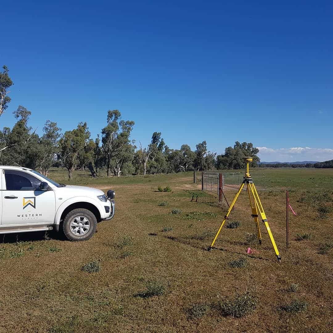
Land Surveying in Dubbo
Western Survey offers accurate land surveying for developments of all sizes. From boundary definition to subdivisions and set-outs, we deliver reliable data to support efficient, compliant projects. Call 0483 332 505 to get started.
Tell us about your next project

Professional Land Surveying Services for All Projects
At Western Survey, we specialise in comprehensive land surveying services designed to support accurate land identification, informed development planning, and regulatory compliance. Whether you’re preparing for a residential build, managing a rural subdivision, or coordinating a large-scale commercial development, we have the expertise and equipment to deliver precise, reliable results.
Our land surveying capabilities include:
- Boundary Definition & Peg-Outs–Clearly establish legal property boundaries to avoid disputes and ensure compliance with planning requirements.
- Identification Surveys–Detailed assessments that confirm the existing position of structures in relation to property boundaries, often required for legal or council approvals.
- Urban & Rural Subdivisions-Strategic surveying support for subdividing land, whether in residential neighbourhoods or rural properties.
- Easement Surveys–Accurate documentation and definition of access rights, utility corridors, and shared infrastructure easements.
- Residential Set-Outs–Precise layout of building footprints to guide construction in alignment with approved plans and zoning requirements.
We’re equipped to handle jobs of all sizes—from single-peg markings to complex multi-lot developments—with a commitment to efficiency, accuracy, and customer service.
Call us today on
0483 332 505 to discuss your land surveying requirements and discover how Western Survey can support your next project.
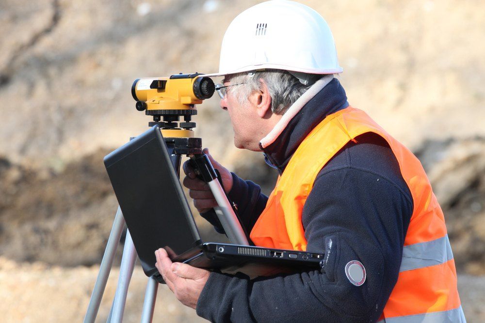
What is Land Surveying?
Land surveying is the process of measuring and recording the details of the land using technology and modern surveying techniques. Land surveyors use historical and previously published maps as well their own fieldwork to draft plans of the area in focus.
Land surveying is a critical aspect of any project that involves the development or management of land, as it allows you to understand your land boundaries and accurately measures contours and features of a particular piece of land.
Within land surveying, there are different surveys that can be offered to a client so that they are presented with the data and plan they specifically need. Below is a list of the different types of surveys:
- Cadastral surveys, also known as boundary surveys, are used to locate the exact borders of a piece of land/property.
- Feature surveys, also known as detailed surveys, are used to identify major details of the property, including—existing buildings, vegetation, retaining walls and fences, utility services, roads and pathways, and neighbouring properties.
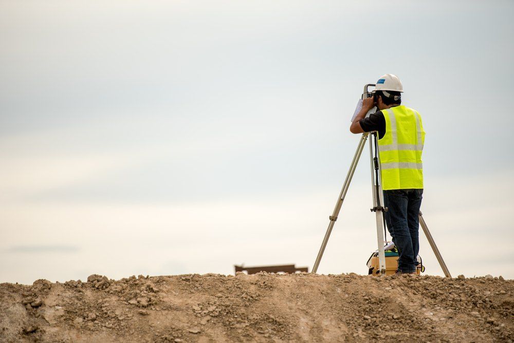
- Topographical surveys map the contours and terrain of a block of land and provide detailed information that is crucial in planning and development.
- Construction surveys assist in every stage of the construction process. Pre-construction surveys assist in planning and the development of the land. Set-out surveys mark the exact location of the proposed construction. Site monitoring can identify small movements within the land and can also help track the progress of construction. As Constructed or Work as Executed surveys shows the final results of the building works.
Whether you are wanting to define your boundaries, consolidate or subdivide your land or complete a major development, land surveying is a major part of the planning, approvals, and construction/development process.
The experienced team at Western Survey can provide you with the reliable and precise data you need for your upcoming project. Contact us today on
0483 332 505.
Peg & Mark Boundaries
At Western Survey, we offer professional peg and mark boundaries services, ensuring the precise definition of your property lines. Whether you're planning new construction or a renovation, accurately identifying the land area is essential.
Our team places survey marks—boundary markers that clearly delineate your land’s boundaries—helping to prevent future disputes and costly mistakes. Establishing clear boundaries before starting any project ensures that you can move forward with confidence, knowing that the legal aspects of your land are properly defined.
With our experienced surveyors and advanced technology, we provide reliable and accurate boundary surveys for both residential and commercial properties. Whether you're working on a new build, extension, or subdivision, our peg and mark boundaries service ensures everything is in place for a smooth project.
We service all across Western NSW, including areas such as Dubbo, Orange, Mudgee, Coonabarabran, Parkes, Cobar, Wellington, Forbes, Bourke, Coonamble, Bathurst, Lightning Ridge, Cowra, and Condobolin.
Call us today on 0483 332 505 to schedule your boundary marking service and avoid future complications.
Thorough Identification Surveys
An identification survey is crucial for understanding the exact boundaries and legal restrictions of your property. At Western Survey, our team of fully qualified and registered surveyors provides thorough and reliable identification surveys, ensuring you have a clear understanding of your land’s limitations before starting any construction.
This service is vital for residential, commercial, and development projects, as it identifies any easements, encroachments, or other legal restrictions that could affect your project. Our accurate assessments provide you with all the necessary data to ensure compliance with local regulations and to avoid costly issues down the line. Whether you're planning to build, subdivide, or modify existing structures, our identification surveys provide the clarity needed to proceed with confidence and protect your investment.
Contact us today on
0483 332 505 to schedule your identification survey and ensure your project is set for success.
Frequently Asked Questions
As a commercial developer, what can a land survey tell me?
If you’re subdividing or planning to develop the land, you are essentially changing the land use and will need a planning permit. Having the land surveyed determines what is permitted to be built on the land according to zoning, environmental conditions and town planning codes.
Do you offer other services aside from surveying?
No, our focus is solely on our specialty – surveying. We are happy to arrange and work alongside other professionals and contractors providing slightly different services for the same project though.
What happens with the information from the surveyor?
The surveyor will draw up and lodge the plan, if required, with the appropriate government department. Once the boundaries are registered by the surveyor, all information for that land is then recorded with the land authority of that state.
What makes Western Survey unique?
Our services are specifically for environmental, cadastral, development and construction projects for private, government, commercial and industrial sectors.
How does pricing work?
Since we work with both small and large clients, we tailor the pricing specifically for each project. Please contact us via phone or email to discuss the project and our rates. Once the scope and size of the project is determined we can provide a written quote.
What does it mean to be a Registered Surveyor in NSW?
A Registered Surveyor is someone who has undergone extensive training and experience in the surveying profession and has been awarded direct management responsibilities within the land boundary system.
To qualify as a Registered Surveyor, a qualified surveyor must complete additional work experience and examinations, as well as accredited by the NSW Board Of Surveying & Spatial Information (BOSSI). At Western Survey, we have been Registered Surveyors for Land in NSW since 2013.

